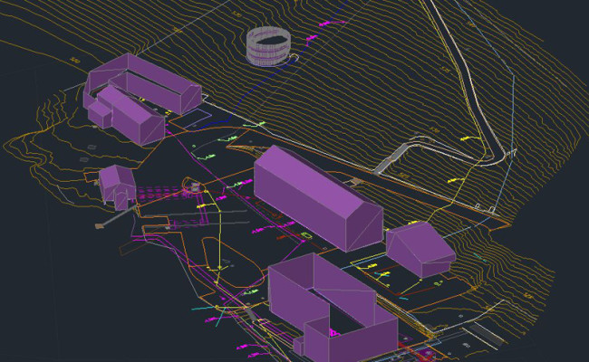
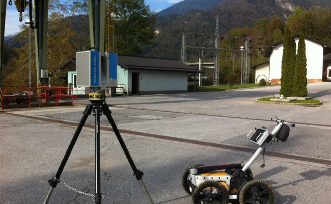
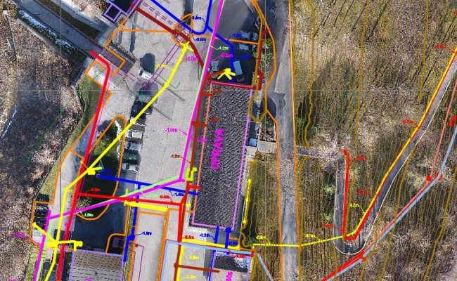
For utility and surface infrastructure different technologies were used (laser scanning, classical surveying, aerial photogammetry, ground penetrating radar and utilities locator.
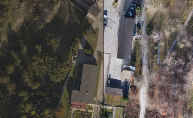
- UAV product: orthophoto 1cm/px map.
- TLS & Classical survey product: topo map, geolocation, 3D surface utility, terrain model.
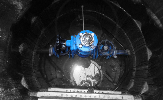
- GPR and Detector products: Underground utility map.
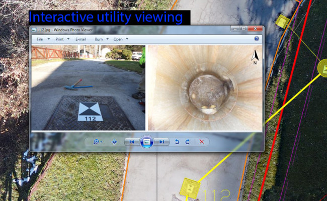
Products were exported as .dwg & .pdf formats. Shafts photos are linked in AutoCAD for interactive viewing.
