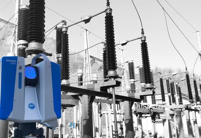
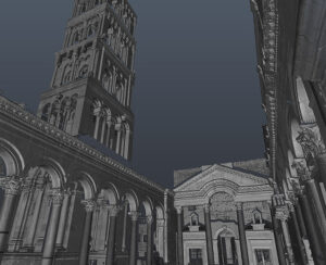
3D laser scanning is a non-contact measurement method. It is used to capture geometric data from complex and inaccessible surfaces. The instrument – a 3D scanner – automatically enables comprehensive measurement of all visible surfaces. The measurement results are then converted into 3D models, 2D plans, or a database tailored to the requirements or wishes of the end user through indirect computer processing.
GPR technology for measuring soil composition and locating underground utilities is one of the possible solutions for solving problems related to inaccurate data on the location of cable ducts, pipelines, and other underground structures. The data obtained using the GPR method enables the creation of an accurate underground cadastre, which can be used, among other things, in the construction of new structures, excavations, renovations of underground waterways, etc.
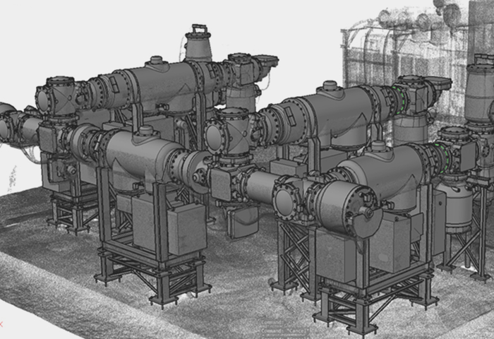
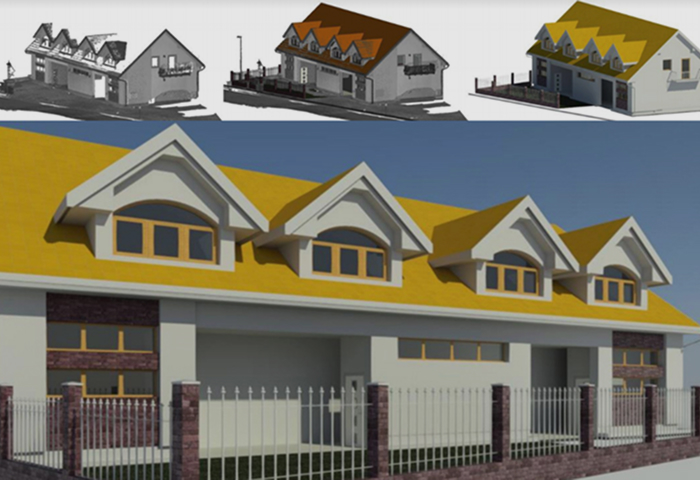
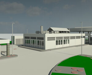
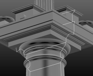
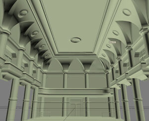
Based on the input data obtained through laser scanning, photogrammetry, and ground-penetrating radar, we create 3D models and 2D plans of the actual state of existing objects, structures, surfaces, and subsurfaces.
We use 3D laser scanners to obtain data on the shape, spatial position, and orientation of the actual object. Using point cloud manipulation software, we create 3D models, which we then attribute with various tabular, textual, and graphical data according to the client’s wishes.
Vitrum laser d.o.o. was founded in 2004. Since its inception, the company has focused on 3D measurement technologies used to measure/digitize surface and subsurface infrastructure. We use 3D laser scanners for mobile and terrestrial mapping of visible surfaces of objects, and georadar systems for mapping underground infrastructure and geological structures. To capture large-scale topographic data, we use unmanned aerial vehicles with photogrammetric systems.