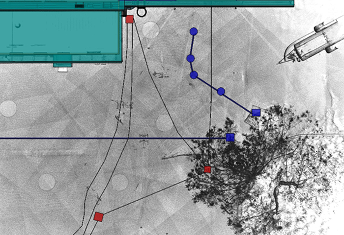
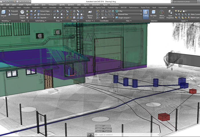
We mapped the underground and above-ground infrastructure in a large production area. A unified 3D model of the terrain and all underground and above-ground infrastructure was created. Manholes and pipelines are equipped with attribute data, making the model a BIM that users can utilize as a database.